Irrigation Section
Kangsabati Reservoir Project was started in the year 1956-57. Till date an irrigation potential of 3,48,477 ha. has been created in the districts of Bankura, Midnapore and Hooghly through this Project.
With bank assistance and under Accelerated Irrigation Benefit Programme, the Government has undertaken large extension and improvement programme of the main canals. The project though originally planned for Kharif and limited Rabi, at present the irrigation water is provided for Boro cultivation also to an area of 27,944 ha.
Salient Features
| Kangsabati Project | |
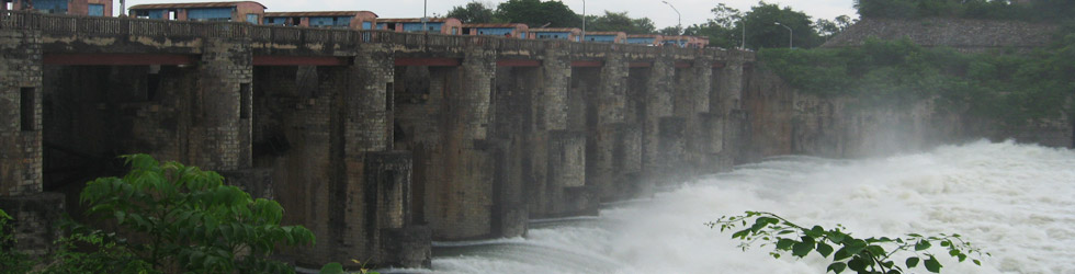
| Location | Mukutmanipur, District Bankura on the rivers Kangsabati and Kumari about 3.2 km. upstream of their confluence. |
| Type of Dam | Earthen Gravity Dam with Concrete Saddle Spillway |
| Catchment Area | 3625 sq. km (1400 sq. Miles) |
| Length of Dam | 11.27 km. (7 Miles) including Dyke & Hillock |
| Height (Max.) of Dam | 41.15 m (135 ft.) above River Bed |
| Length of Spillway / No. of Bays | 125.00 m (440 ft.) 11 (Width of each bay 9.14 m) |
| Optimum Pond Level | 134.11 m (410 ft.) |
| Design Flood Level | 135.63 m (445 ft.) |
| Design Discharge | 5663.32 cumec (2,00,000 cusecs) |
| Total Storage (DS & LS) | 103614.16 ha. m (8,40,000 ac. ft.) |
| Total Submerged Area | 13,668 ha. (33,760 acre.) |
| Canal & Barrage Discharge | Left - 192.55 cumecs (6,800 cusecs) Right - 70.75 cumecs (2,500 cusecs) |
| Length of Canal | Main and Branch - 804.50 km. (500 Miles) Distributaries and Minors - 2413.50 km. (1500 Miles) |
| Pickup Barrages | i) Silabati, ii) Bhairabanki, iii) Tarafeni |
| Total Irrigable Area (CCA) | Kharif - 340752 ha. (8,42,000 acre) Rabi - 60704 ha (1,50,000 acre) |
| Maximum Irrigation Achieved | Kharif - 274,940 ha (6,79,100 acre) Rabi - 45,593 ha (112,614 acre) Boro - 27,944 ha (69,022 acre) |